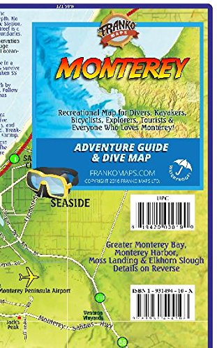
Monterey California Adventure & Dive Guide Franko Maps Waterproof Map



Description
Condition - Very Good
The item shows wear from consistent use but remains in good condition. It may arrive with damaged packaging or be repackaged.
Side one covers the Monterey Peninsula and environs, including Sand City, Pacific Grove, Pebble Beach, Carmel and Point Lobos. Dive and snorkel sites are located, named and described. The map has surfing and kayaking spots, roads and bike routes and points of interest. There is a detailed map of Point Lobos State Natural Reserve. Also, colorful illustrations of fish and other kelp forest creatures. Side two has blow-ups of Moss Landing & Elkhorn Slough, Monterey Harbor, Monterey Bay National Marine Sanctuary, plus an overview of the coast from Santa Cruz south to Los Padres National Forest.
14" x 21" folded to a handy 4" x 7", printed on waterproof rip-resistant synthetic material. This handy guide will help you make the most of a day, weekend or vacation on the Monterey coast!
Technical Specifications
Shipping & Delivery
Your order is shipped from the USA and delivered to your door in South Africa in 10–20 working days. All items are fully tracked.
Returns & Exchanges
We offer a 30-day return window. If something isn't right, contact our support team and we'll make it right.