Great Maps of the Civil War: Pivotal Battles and Campaigns Featuring 32 Removable Maps (Museum in a Book, 2)
Product Description
Condition - Very Good
The item shows wear from consistent use but remains in good condition. It may arrive with damaged packaging or be repackaged.
Great Maps of the Civil War: Pivotal Battles and Campaigns Featuring 32 Removable Maps (Museum in a Book, 2)
- Used Book in Good Condition
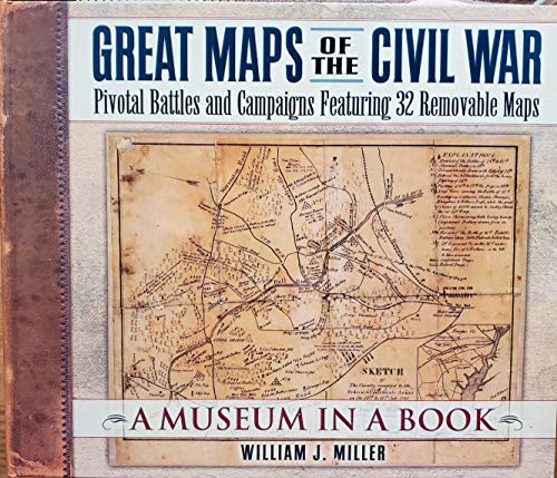
When Union General George McClellan marched toward the Confederate capital of Richmond in 1862, he encountered the Warwick River "where it wasn't supposed to be." McClellan was following a map created by an esteemed topographer, but the map was wrong!
"The Cram Map" that McClellan was using is one of the removable maps in Great Maps of the Civil War. So is the map Union Gen. James B. McPherson was carrying when he was killed on July 22, 1864, just east of Atlanta.
"Commanders moving their armies . . . often had to advance slowly, groping their way blindly," says William Miller. "They used what maps they could find, but most contained serious errors. . . . Studies of Civil War maps usually focus on handsome, postbattle maps of battlefields. . . . While these maps explain how a battle was fought, they do nothing to help us answer the questions about why a battle or campaign was conducted as it was." The maps in Great Maps of the Civil War are the ones the commanders actually used or were likely to have been available to them.
Technical Specifications
You might also like

Atlas of the Civil War: A Complete Guide to the Tactics and Terrain of Battle

Battlefields of the Civil War Map

The Civil War Trilogy Box Set: With American Homer: Reflections on Shelby Foote and His Classic The Civil War: A Narrative (Modern Library)

The Civil War: The Story of the War with Maps

Battle Maps of the Civil War (American Heritage)

National Geographic The Civil War: A Traveler's Guide (National Geographic Blue & Gray Education Society)

The Civil War: A Visual History

Civil War Sites: The Official Guide To The Civil War Discovery Trail

The Complete Civil War Road Trip Guide: More than 500 Sites from Gettysburg to Vicksburg (Second Edition)

Gettysburg: The Story of the Battle with Maps