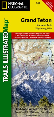
Grand Teton National Park - Trails Illustrated Map # 202
Product Description
Condition - Very Good
The item shows wear from consistent use but remains in good condition. It may arrive with damaged packaging or be repackaged.
Grand Teton National Park - Trails Illustrated Map # 202
- Waterproof and tear-resistant
- Clearly marked trails for hiking, biking, horseback riding, and more
- Detailed topography and clearly defined, color-coded boundaries of state parks, national recreation areas, wilderness areas, marine sanctuaries and wildlife refuges - Hundreds of points-of-interest, including scenic viewpoints, campgrounds, boat launches and canoe carry downs, swimming areas, fishing access points, and more
- UTM and Latitude/Longitude grid, as well as selected waypoints and a scale bar for easy and accurate navigation
- Detailed road network
Coverage includes town of Lead, Sturgis, Fort Meade Recreation Area, Black Hills Experimental Forest, Deerfield LakeCoverage includes Caribou Targhee National Forest, Jedediah Smith Wilderness, Bridger Teton National Forest, John D. Rockefeller Jr. Memorial Parkway, and Gros Ventre Wilderness. Ski areas: Jackson Hole Mountain Resort; Snow King Mountain; Grand Targhee Resort. Towns: Colter Bay Village; Jackson. Includes UTM grids for use with your GPS unit.
Scale = 1:80,000 & 1:31,680 Size: 26'' x 38''
Technical Specifications
Customers who bought this also bought

You might also like
Hiking Grand Teton National Park: A Guide To The Park's Greatest Hiking Adventures (Regional Hiking Series)

Lonely Planet Yellowstone & Grand Teton National Parks (Travel Guide)
Yellowstone National Park (National Geographic Trails Illustrated Map)

Yellowstone National Park [Map Pack Bundle] (National Geographic Trails Illustrated Map)

Yellowstone and Grand Teton National Parks [Map Pack Bundle] (National Geographic Trails Illustrated Map)