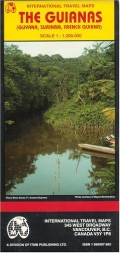
The Guianas map (Guyana/ Surinam/French Guiana)
Product Description
Condition - Very Good
The item shows wear from consistent use but remains in good condition. It may arrive with damaged packaging or be repackaged.
The Guianas map (Guyana/ Surinam/French Guiana)
Legend locates international and district boundaries; legal border crossing points; settlements from major cities to villages; roads from primary roads to cart tracks/trails; railways; bus stations; car rental; ferry routes; airports; Indian reserves; tourist information centers; embassies; public overseas telephones; medical facilities; banks; post offices; gas stations; mines; oil derricks; dams, canals, and other hydrography; camping/accommodations; parks and nature preserves; fishing; hiking; colleges/universities; museums; historic sites; other points of interest.
Facts and figures in brief for each country; historic background and practical information; descriptions and photos of highlights.
Scale 1:1,200,000. Printed on one side.
Technical Specifications
You might also like

The 4-Hour Body: An Uncommon Guide to Rapid Fat-Loss, Incredible Sex, and Becoming Superhuman

The Complete Book of Herbs: A Practical Guide to Growing and Using Herbs

Crossroads of Twilight: Book Ten of 'The Wheel of Time'

And the Mountains Echoed

Freedom from Obsessive Compulsive Disorder: A Personalized Recovery Program for Living with Uncertainty, Updated Edition

The Lowland: National Book Award Finalist; Man Booker Prize Finalist (Vintage Contemporaries)

On Grief and Grieving: Finding the Meaning of Grief Through the Five Stages of Loss

The All-Girl Filling Station's Last Reunion: A Novel