Washington, DC Metro Street Atlas
Product Description
Condition - Very Good
The item shows wear from consistent use but remains in good condition. It may arrive with damaged packaging or be repackaged.
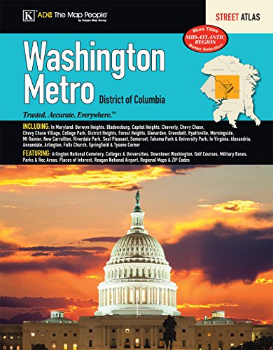
Washington, DC Metro Street Atlas
The Metro Washington, DC Atlas is a full-color street atlas, including: Berwyn Heights, Bladensburg, Capitol Heights, Cheverly, Chevy Chase, Chevy Chase Village, College Park, District Heights, Forest Heights, Glenarden, Greenbelt, Hyattsville, Morningside, Mt Rainier, New Carrollton, Riverdale Park, Seat Pleasant, Somerset, Takoma Park, and University Park, in MD; and Alexandria, Annandale, Arlington, Falls Church, Springfield, and Tysons Corner, in VA; and features: Arlington National Cemetery, Colleges and Universities, Downtown Washington, Golf Courses, Military Bases, Parks and Rec Areas, Places of Interest, Reagan National Airport, Regional Maps, and ZIP Codes